
Unparalleled Flexibility, Precision, and Accessibility
Soar above and discover the limitless possibilities of our Unmanned Aerial Vehicle (UAV) surveys, designed to redefine how we inspect and understand sites
Flexibility
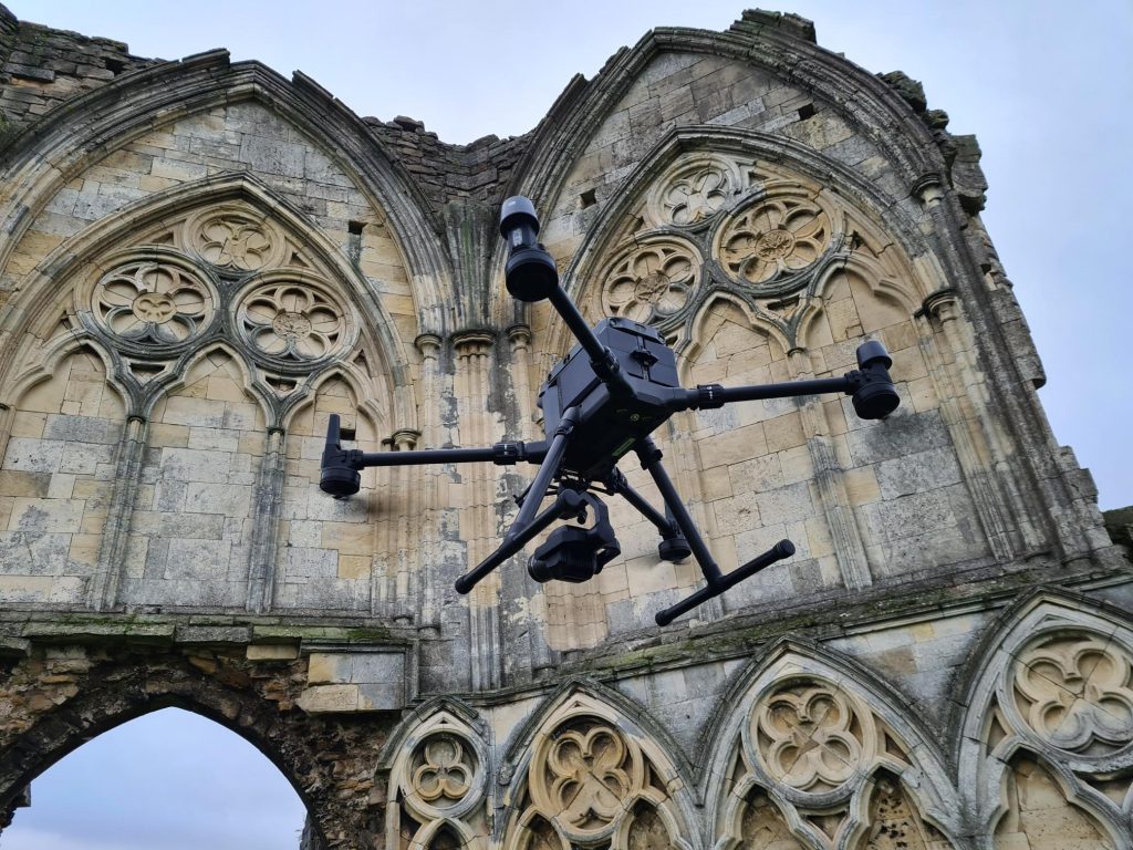
Our UAV surveys break the barriers of traditional inspections, offering unparalleled flexibility. No site is too remote, too vast, or too hazardous—we can inspect anywhere, at any time. Our team of GVC certified drone pilots meticulously plan each flight to comply with with Civil Aviation Authority guidelines, ensuring safe and efficient flights.
Meticulous Data Capture
UAV surveys meticulously capture data points, photographs and video, to produce detailed and precise 360º data sets for even the largest sites or structures. Drones capture imagery and data from various angles and elevations, providing comprehensive coverage ideal for detailed analysis, especially beneficial for structural, earthwork and cropmark investigations.
Versatile and Efficient
By leveraging UAV surveys, we empower our clients with a versatile and efficient method to capture valuable site information. Enhancing accessibility to challenging locations, these surveys contribute to the production of accurate and detailed data sets. The acquired information becomes a cornerstone for planning, analysis, and informed decision-making processes.
Let’s Talk.
If our services resonate with your requirements or if you’d like a quotation, reach out. Our team is eager to discuss how we can assist in making your projects a reality.